The MainPower New Energy Fund is designed to support local organisations, businesses and individuals working on projects that support a brighter energy future for North Canterbury.
The new fund replaces the MainPower Decarbonisation Fund, introduced in 2025, expanding on it’s success by broadening the scope of projects eligible for support. While decarbonisation remains a key focus, the New Energy Fund will support initiatives that improve energy efficiency, enable electrification and enhance the way energy is generated, managed and used across the region.
MainPower Chief Executive Sean Horgan says the new fund reflects the rapid pace of change in the energy sector and the evolving needs of the community.
“The transition to a low-emissions future is well underway, but it’s not just about reducing carbon. It’s also about creating smarter, more resilient energy systems that benefit our communities,” says Horgan.
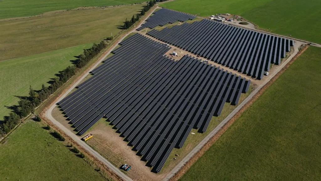
The fund is centred on the concept of “new energy”, reflecting the shift toward cleaner, efficient and smarter energy systems.
Horgan says, “we want people to be bold with their ideas. We are open to supporting existing technology and new energy solutions, if they have a positive impact on North Canterbury. The fund is also available for research and pilot projects in the energy space.”
By working alongside customers, communities, businesses, and industry partners, MainPower aims to enable practical, locally led solutions that support New Zealand’s transition to a low-emissions economy while strengthening the resilience of the regional network.
Horgan says the fund is a natural evolution of the company’s community investment approach.
“As a community-owned network, we are focused on delivering long-term value for our consumers.
“This fund is about supporting practical, local solutions that help our region adapt, thrive, and take advantage of emerging energy opportunities.”
How to apply
Applications for the MainPower New Energy Fund are now open now until the end of August, with community groups, businesses and organisations encouraged to apply.
More information, including eligibility criteria and application details, is available at: www.mainpower.co.nz/newenergyfund